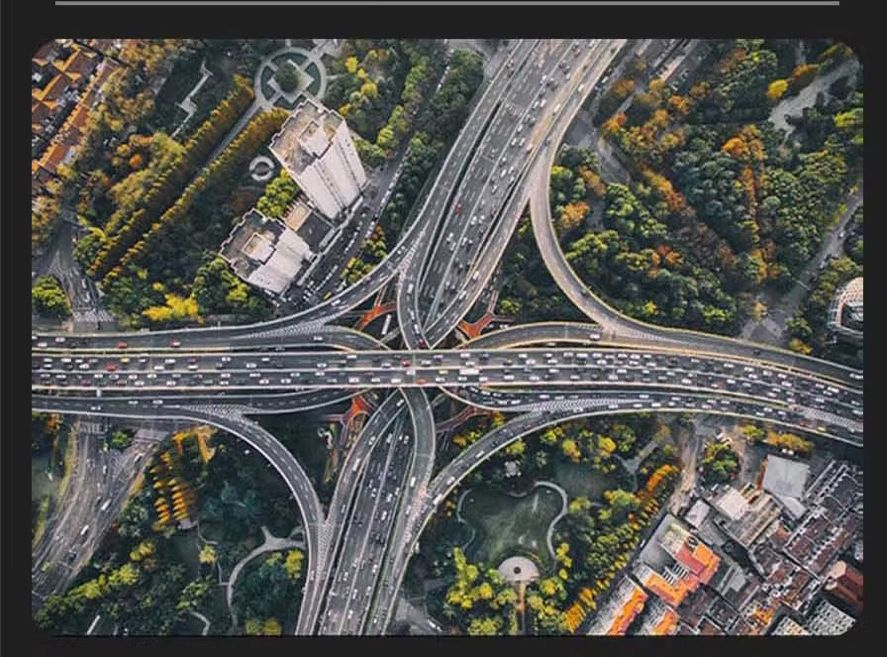
We combine geospatial intelligence with cyber operations to visualize threats, improve situational awareness, and accelerate response times.
Our GIS capabilities let us map attack origins, correlate events with geography, and enable fast, data-driven incident response. Below are use-cases, integrations, and how GIS strengthens security posture.
GIS enables spatial context — map suspicious activity, visualize campaigns, and correlate events with physical infrastructure to improve detection and response.
Map threat origin and propagation paths to prioritize containment and remediation.
Stream live telemetry into geospatial dashboards for fast detection of anomalies.
Visualize attack surface and affected assets on a single map for coordinated responses.
Interactive map panels can display incident clusters, sensor overlays, and live telemetry feeds.
Drop Off Computer and Technology Equipment Equipment Donate
For more information or inquiries, contact Mo Tech. We're a corporation specializing in electronics devices and are ready to assist with questions and orders.


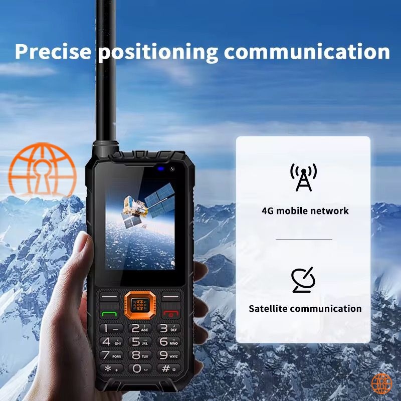
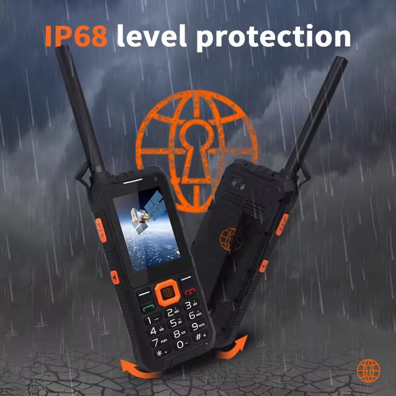
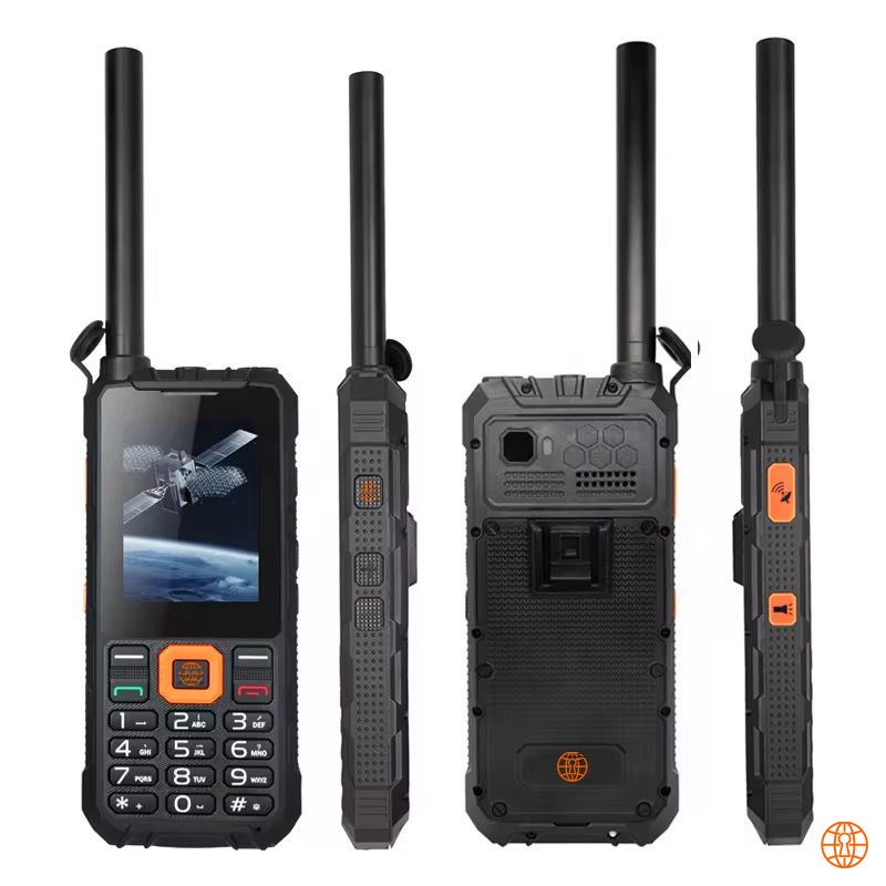
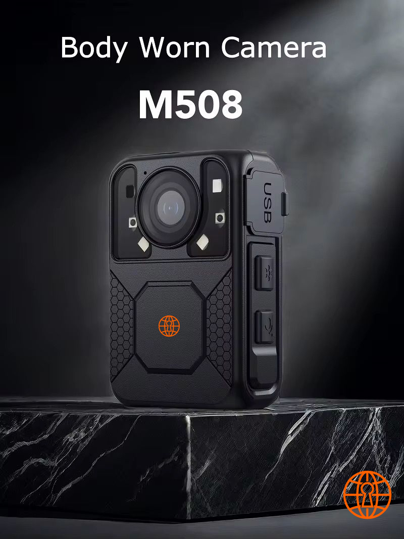
The GS380 is suitable for security, field operations, and everyday wearable uses. Contact us for pricing, customization, and bulk orders.
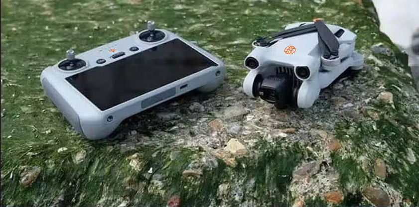
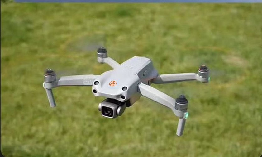
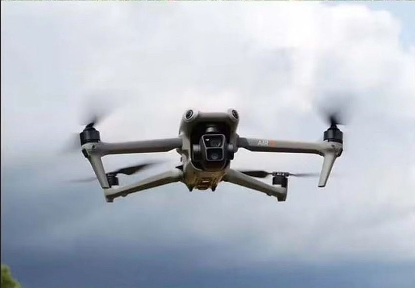

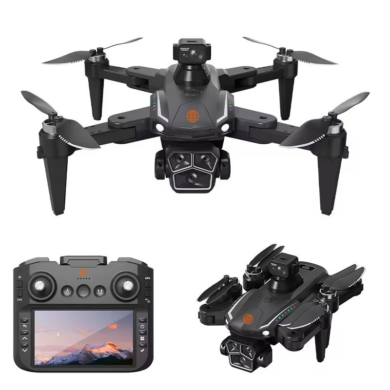
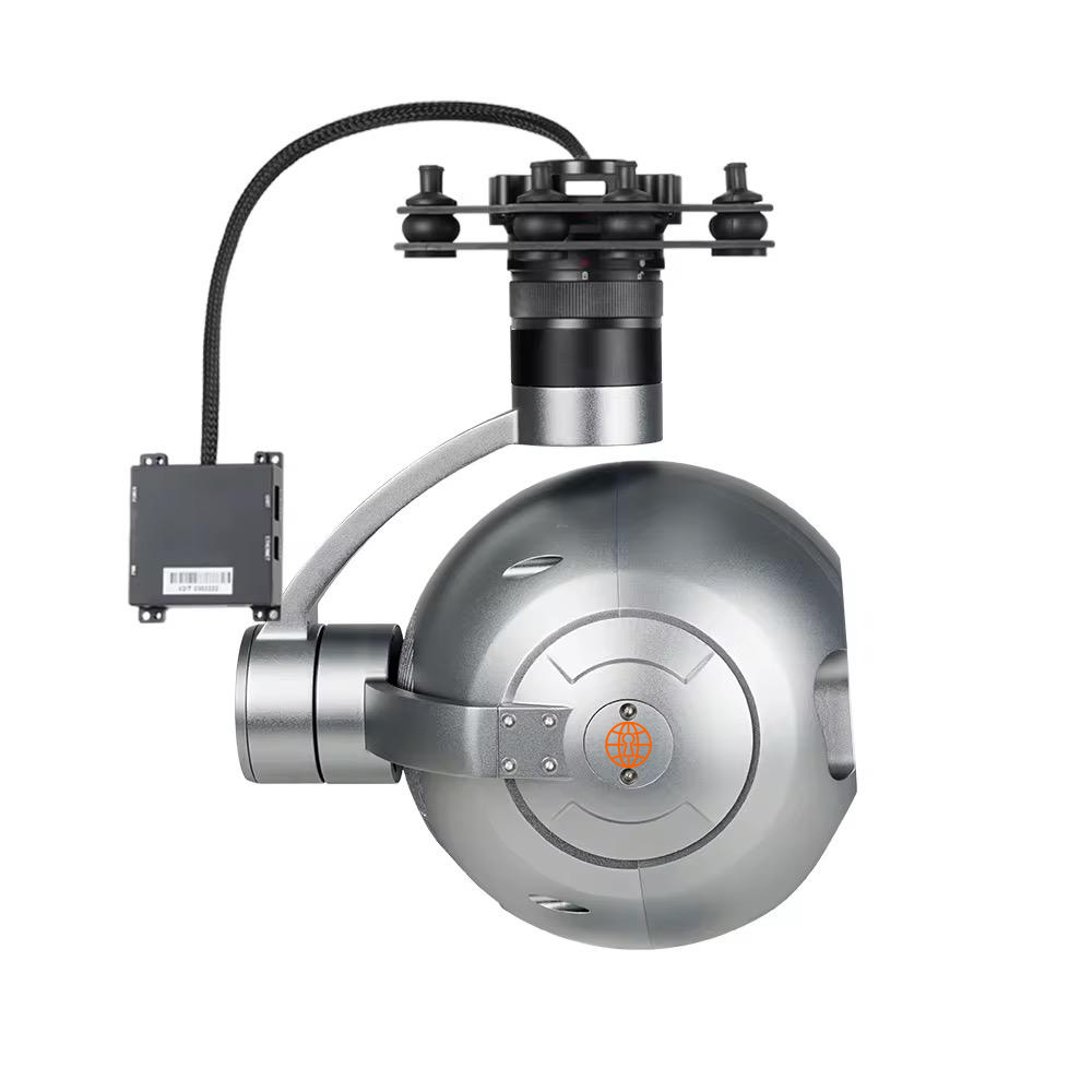
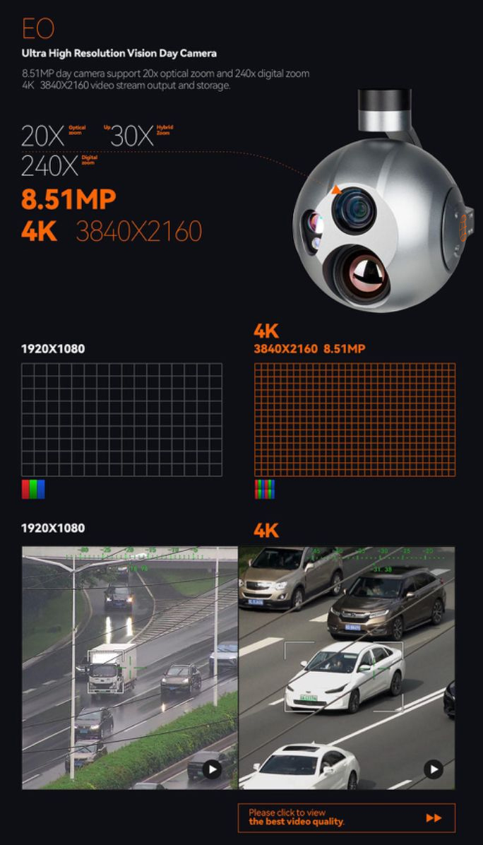
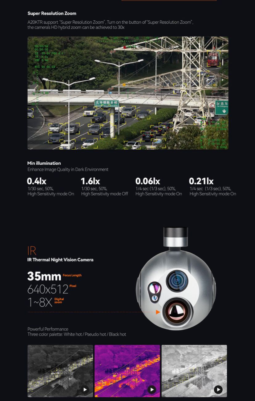
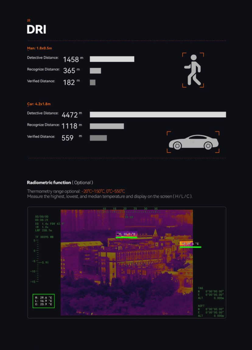
The Mo Tech Security drone is an excellent choice for capturing stunning aerial footage and photos, with its advanced camera system, long flight time, and robust flight performance.
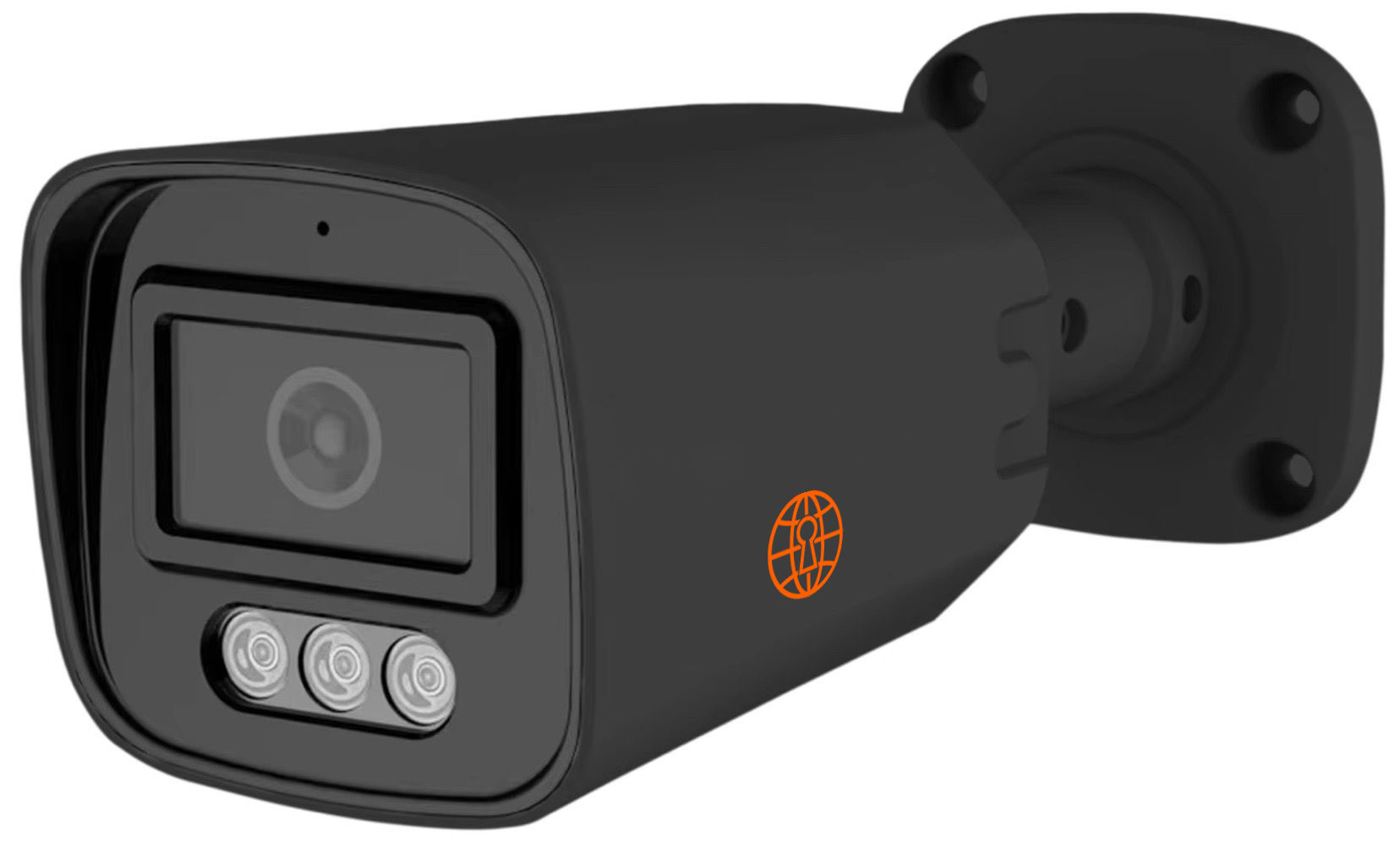
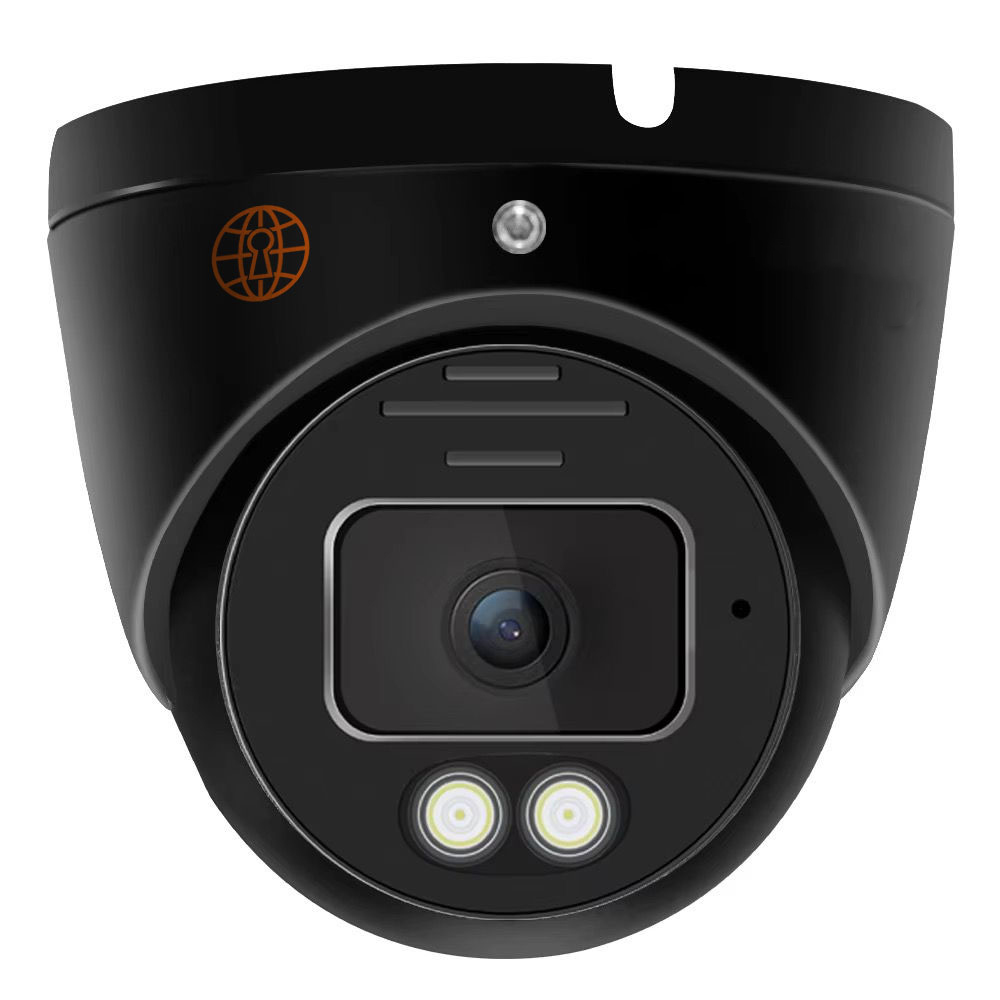
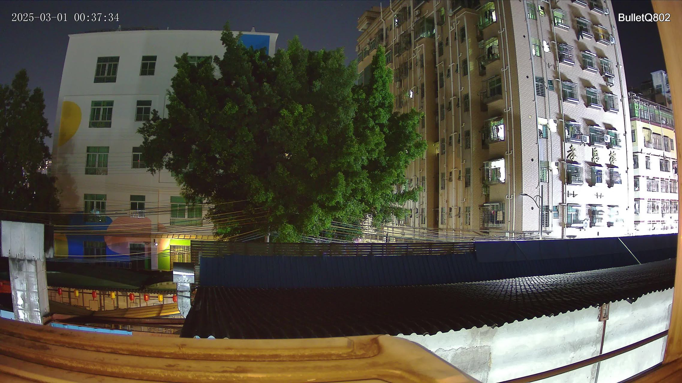
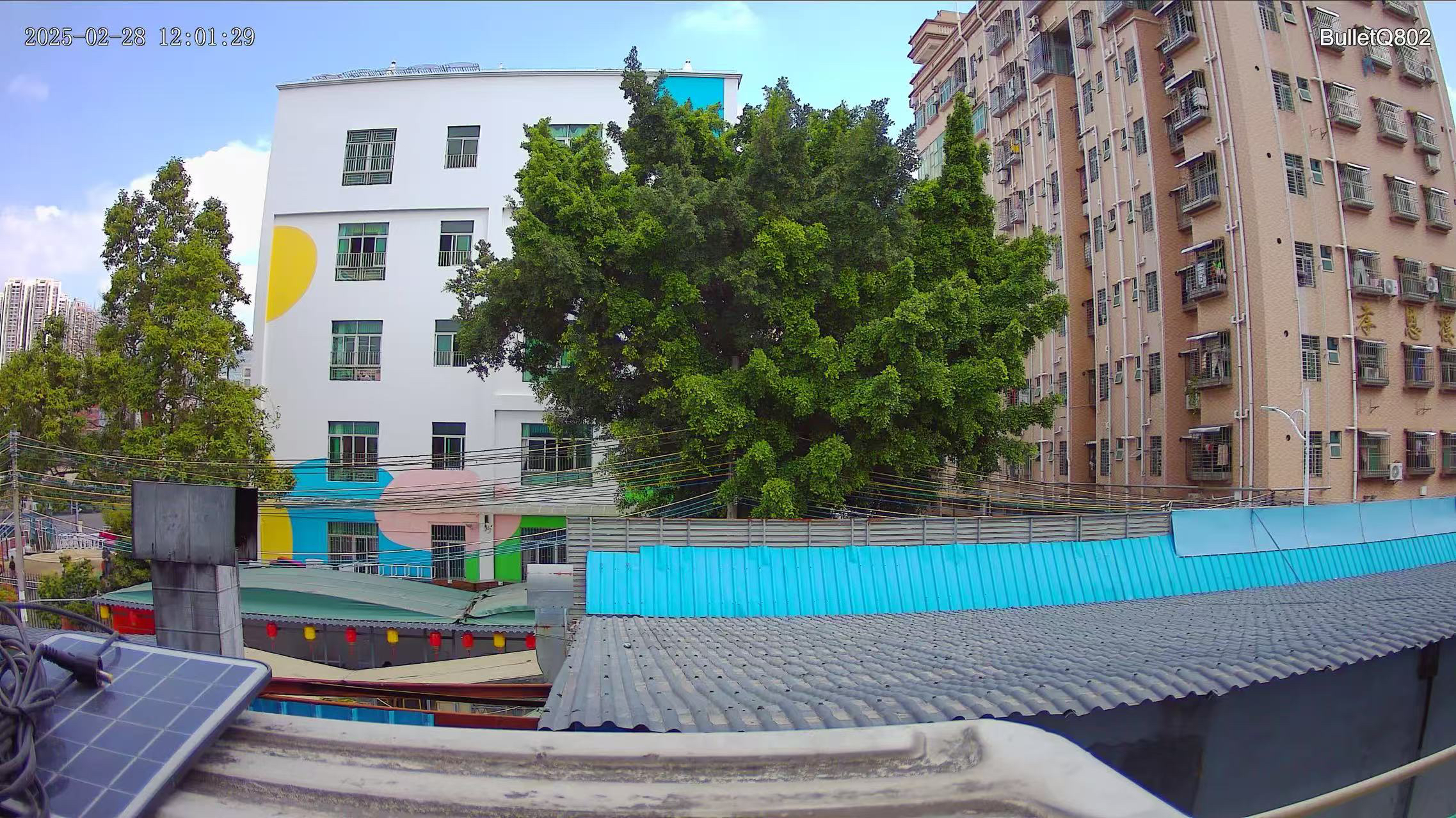
The Mo Tech CCTV Camera is an ideal choice for homes, offices, and commercial spaces, offering crystal-clear video, night vision, weatherproof durability, and remote monitoring support.
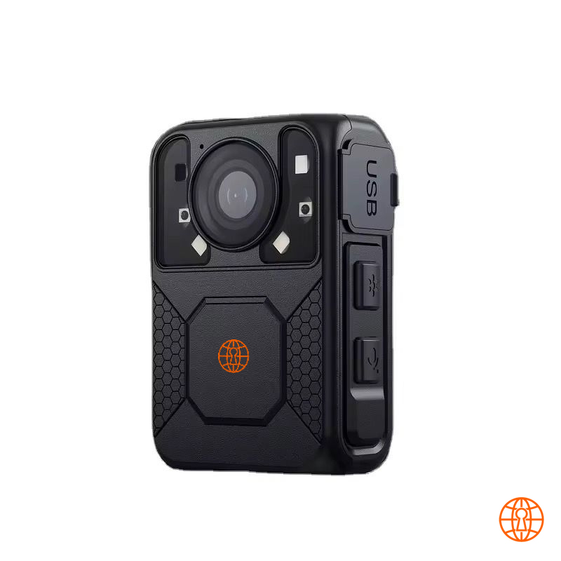
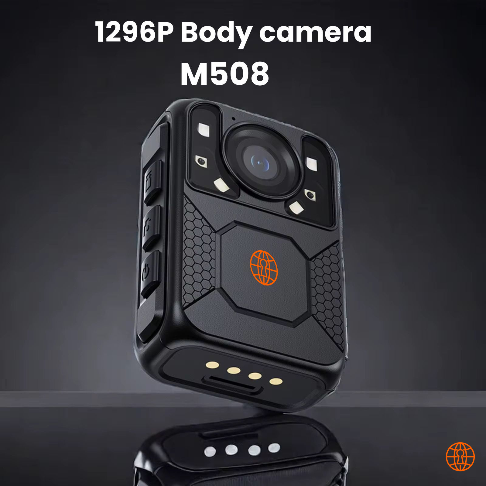
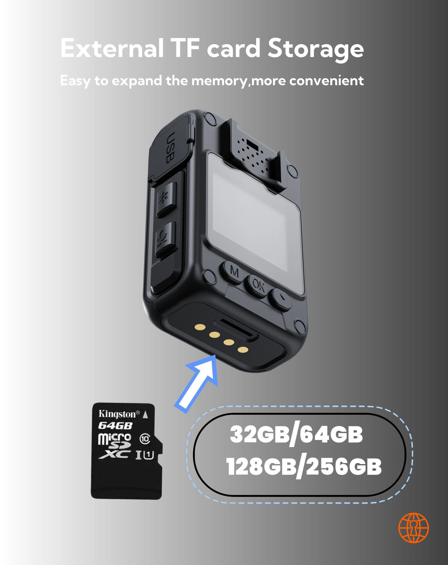
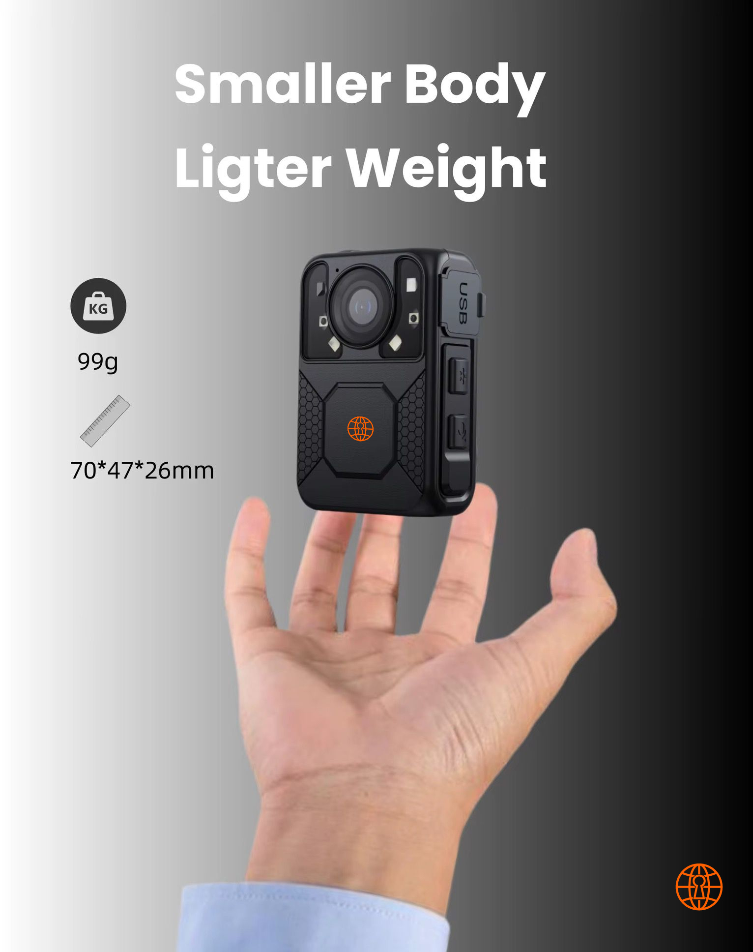
The CryptoGuard Body Camera is engineered for professional-grade surveillance and recording needs. With 4K-ready resolution, night vision, loop recording, and password-protected data security, it is the ultimate choice for security forces, law enforcement, and individuals who demand reliability.